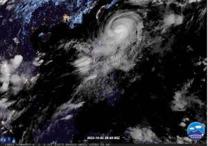
Photo Courtesy of ABS-CBN News
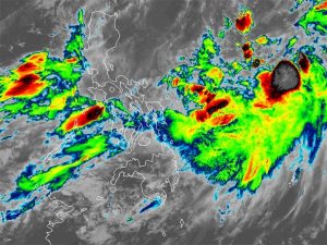
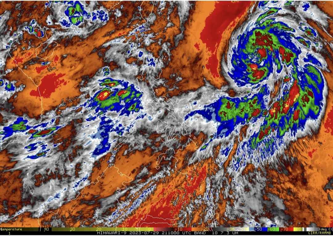
Falcon has intensified into a severe tropical storm and is expected to further develop into a typhoon by late Sunday evening or early Monday morning, according to the Philippine Atmospheric, Geophysical, and Astronomical Services Administration (PAGASA). The southwest monsoon, amplified by severe tropical storm Falcon, will bring intermittent to monsoon rains over the western areas of Luzon and Visayas over the next three days.
As of 4 a.m., the center of the severe tropical storm was positioned approximately 1,190 km east of Northern Luzon.
Currently packing winds of 95 kph and gusts of up to 115 kph, the storm is projected to intensify steadily in the next three days, reaching its peak intensity on Tuesday. PAGASA clarified that the likelihood of raising wind signals due to Falcon over any location in the country remains low, based on the current forecast scenario.
However, the enhanced Southwest Monsoon will result in gusty conditions, especially in coastal and upland/mountainous regions exposed to the winds. The following areas are expected to experience gusty conditions on specific days:
- Today: Zambales, Bataan, Pampanga, Bulacan, Metro Manila, Occidental Mindoro, Palawan, Romblon, Northern Samar, and most of CALABARZON, Bicol Region, and Western Visayas.
- Tomorrow: Ilocos Norte, Pangasinan, Zambales, Bataan, Pampanga, Bulacan, Metro Manila, Occidental Mindoro, Palawan, Romblon, Northern Samar, and most of CALABARZON, Bicol Region, and Western Visayas.
- Tuesday: Ilocos Region, Abra, Benguet, Zambales, Bataan, Bulacan, Metro Manila, Bicol Region, and most of CALABARZON, MIMAROPA, and Western Visayas.
Falcon is anticipated to exit the Philippine Area of Responsibility (PAR) by Monday evening or Tuesday early morning, but its possible escalation to a typhoon requires vigilance and preparedness from affected regions. Residents in areas within Falcon’s potential trajectory are urged to closely monitor updates from PAGASA and local authorities to stay informed about any changes in the storm’s path and intensity.